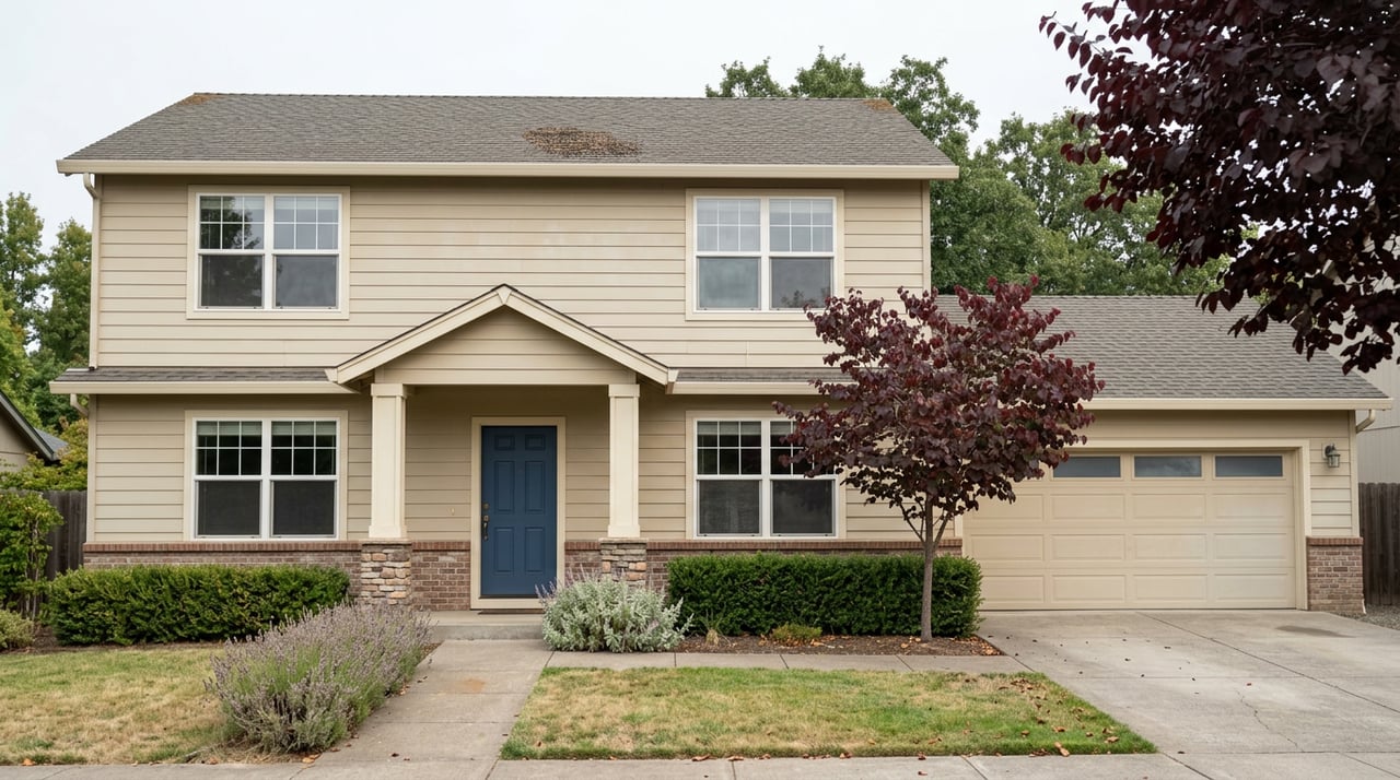
If two houses sit less than fifteen minutes apart, share the same Highway 20 commute, shop at the same grocery stores, and were built in roughly the same decade, why would one carry a price tag tens of thousands of dollars different from the other?
That is the question buyers run into the moment they start cross-shopping Marysville and Yuba City. The two cities face each other across the Feather River, close enough that plenty of households eat dinner on one side and work on the other. On paper they read like a single market split by a bridge. In the sale numbers, they are not.
As of July 2026, homes in Marysville were listed at a median of $399,000, or about $271 per square foot. The Zillow home value index for Marysville put the typical home at $396,575 as of the end of June 2026, down slightly over the past year. Across the river in Yuba City, homes sold over the three months ending in May 2026 at a median of $450,000, and the average sale price hit $453,000 that same May, up 7.7% from a year earlier. That gap, somewhere in the neighborhood of $50,000, has held steady enough that it is not a fluke of one slow week of closings.
Buyers usually reach for the obvious explanations first: bigger lots, newer construction, better schools. None of those hold up cleanly here, since the two downtowns share a retail corridor, a hospital system, and a school-age population that crosses the river in both directions every weekday. The number that actually helps explain the gap does not show up on a listing sheet. It shows up on a flood map.
What the numbers actually show
| Metric | Marysville (Yuba County) | Yuba City (Sutter County) |
|---|---|---|
| Median price | $399K listed, July 2026 | $450K sold, 3 months ending May 2026 |
| Price per square foot | $271 | $257 |
| Time to pending or sale | About 21 days | 28 days, up from 22 a year earlier |
| Typical home value | $396,575 (as of 6/30/2026) | $453,000 average sale, May 2026 |
Two things complicate the easy story. Marysville actually costs more per square foot, not less, which points toward smaller lots and an older, more in-town housing stock rather than a blanket discount on floor space. And Marysville is the faster-moving market on top of that, typically going pending in about three weeks versus four across the river. If Yuba City commanded a premium purely because it was more desirable or in shorter supply, you would expect it to sell faster too. It does not.
So the roughly $50,000 gap in total price is not simply buyers paying more for more house, and it is not simply Yuba City winning on stronger competition. Something else is setting a discount under Marysville's total price even as its per-square-foot cost runs higher. The clearest candidate shows up on a flood map, not a listing sheet.
The flood map hiding under the price tag
Redfin's own hazard data, built on First Street Foundation modeling, puts a number on it. Yuba County, where Marysville sits, carries a 59% share of properties considered likely to face severe flooding over the next 30 years. Cross the river into Sutter County, where Yuba City sits, and that county-level share drops to 16%, with Yuba City itself reporting just 7%.
That is not a rounding difference. It is the difference between a lender requiring flood insurance on a mortgage and not requiring it at all, and between an annual premium that barely registers on a monthly payment and one that reshapes it.
Why the two banks of the same river ended up on different footing
The short version: levee money went to different stretches of river at different times, and the Feather River runs through two counties that manage flood protection separately.
On the Yuba County side, the Three Rivers Levee Improvement Authority, a joint powers agency formed in 2004 by Yuba County and Reclamation District 784, has funded nearly $430 million in levee improvements, according to figures maintained by the agency, covering more than 46 miles of work in the southern part of the county. That investment brought 200-year flood protection to Linda, Olivehurst, and Plumas Lake, communities south of Marysville that are home to more than 40,000 residents. It is real, substantial infrastructure.
It does not cover the county evenly, though. Reclamation District 10, which maintains 23 miles of levee across roughly 12,000 acres just north of Marysville, was flagged by FEMA in a 2013 workshop as not meeting federal certification standards, according to reporting in the Appeal-Democrat. The Marysville Ring Levee, which protects the city itself, sat in the same non-certified category at that time. Yuba Water Agency still pays about $5.5 million a year in bond debt through 2038 to help fund levee work across the county, including contributions to the Army Corps of Engineers' Marysville Ring Levee project, which tells you the work has been ongoing rather than finished and settled.
Sutter County maps and manages its levees through an entirely separate set of local districts. The lower flood-risk share Redfin reports for Yuba City reflects that different system, not a claim that the west bank is somehow immune to the same river. The flood history runs through both banks. The Department of Water Resources notes that the flood of January 1997 forced a breach on the east levee of the Feather River in Yuba County, one of several events since 1950 that keep flood monitoring a recurring exercise for both counties, not a hypothetical one.
A house does not know which county it sits in. A mortgage lender does.
What this means if you are actually comparing the two
For a buyer running the math between a Marysville listing and a Yuba City listing, the sale price is only half the comparison. The other half is what a lender will require once the flood zone determination comes back, and what that requirement costs every year afterward.
A few habits make that comparison honest instead of theoretical:
- Pull the FEMA flood zone determination for the specific address, not the county average, before writing an offer. Yuba County's Public Works Department can look up flood zone status on a parcel-by-parcel basis.
- Ask whether the levee protecting that specific parcel currently holds federal certification. Certification status changes as agencies complete projects, and a shift in status can move the insurance requirement even when the sale price has not moved.
- Get an actual flood insurance quote before removing contingencies, not an estimate based on the zone letter alone. The letter sets the baseline. Elevation and construction details set the real premium.
- Treat the county line as a real boundary in your search, not an artifact of the map. Two houses that look interchangeable on a listing photo can sit in entirely different flood protection systems.
None of this means Marysville is a compromise or that Yuba City is automatically the safer bet. It means the price gap between the two is not arbitrary, and a buyer who understands where it comes from can decide with open eyes whether the lower price on the Yuba County side is worth the added insurance line item, or whether the higher price across the river is buying down a risk that shows up on paper before it ever shows up in the yard.
FAQ
Does Yuba City's lower flood-risk share mean it never floods? No. Sutter County as a whole still reports 16% of properties with severe flood risk over the next 30 years, and the entire regional flood-control system exists because the Feather and Sacramento rivers have flooded this valley repeatedly since the 1950s. Lower risk is not the same as no risk.
If my lender does not require flood insurance, should I skip it? That is a decision between you, your insurance agent, and your lender, not something a market comparison can answer for you. What this data tells you is that the requirement itself differs meaningfully between the two cities, which is worth pricing into your decision either way.
How do I find out which levee district actually protects a specific address? Yuba Water Agency publishes a list of the local levee and reclamation districts operating in the county, including Reclamation District 784, Reclamation District 10, the Marysville Levee Commission, and Reclamation District 2103 near Wheatland. Yuba County's Public Works Department can confirm which district and which flood zone applies to a specific parcel.
Where this leaves you
The Feather River does not care which county collects your property taxes. The levees on either side of it do, and so does the mortgage underwriting that follows. If you are comparing Marysville and Yuba City side by side, the honest version of that comparison includes the flood zone determination alongside the listing price, because one of those numbers changes every year and the other you only pay once.
If you want a second set of eyes on a specific address on either side of the river, Jennifer Giffin has spent more than fourteen years working transactions across Yuba, Sutter, and the surrounding counties and can help you run the real comparison before you write an offer. Let's Connect.